The Map View in Visivi is core to the entire system – it uses the geographic location of assets and photographs to tie everything together, and allows you to locate and view in context areas of interest.
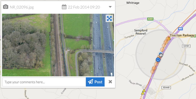
When first opening Visivi the default map view shows your asset (whether that is Railway, Road, Pipeline, etc.). As you click and drag the map around the screen, you will see there is a circular spotlight highlighting the images in the area you are pointing at.
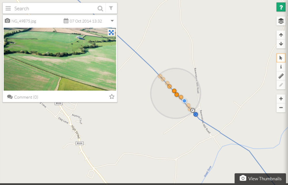
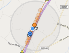
Once zoomed in, this spotlight will show the image location points, shown as a range of orange dots. The dark orange dots are the images at the point selected and the lighter ones are the images before and after.
Click on the darkest orange dot close to the location of interest and you will see the image appear in the card to the left of the screen.
The blue dot is the view point and the blue arrow dots are the camera point.
As you hover over the orange dots and move up and down the line, you will see the video scrubbing within the image card, which is very useful if you want to find a particular image.