The Information Tool (Info Tool) allows you to click on the Map or a Geo-referenced Oblique Image, and get certain information back about that location.
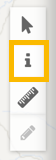
You can find this information by clicking on the ‘Information’ button and then clicking on the location of interest.
This changes the cursor to a hand with a Blue Marker Symbol:
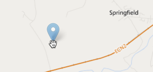
Place the marker on the map by clicking at the point of interest.
After clicking on the location, a ‘Feature Information’ box will appear to the left of the screen with location details given as as Latitude/Longitude Geographic coordinates, Eastings/Northings or X/Y Projected Coordinates (using the Projects Coordinate System) or another project specific linear reference (ELR).
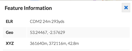
*Note, you can select the text into the clipboard by clicking and dragging, then press Control-C to copy
In Visivi you can measure location on the Map View or Full Screen Image view (if the image is geo-referenced).
If you click on a map feature (one of the layers selected in the Layer Control), the attributes of that Map Layer at that location are displayed just below the Coordinates Information.
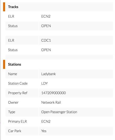
If multiple layers have features underneath the point you clicked, the attributes from all layers will be displayed. A small colour swatch is draw next to the layer name which matches the colour of the features on the map layer.