Routeview allows you to measure distances on the mapping and on geo-referenced oblique images, in addition to querying locations.
Click on the Measure Tool icon on the right hand side of the page:
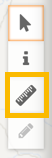
*Note that the icon may be greyed-out if measurement is not available on certain oblique images
To measure a distance click the ‘Measure a distance’ button and then click two points on the map or image.
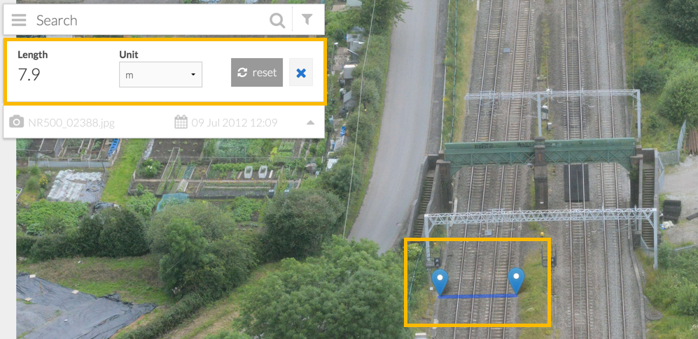
The length will display in the card to the left hand side of the screen in units of metres, miles or kilometres. To begin a new measurement, press the ‘Reset’ button.
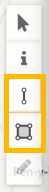
To measure an area, click the ‘Measure an area’ button and then click on the four points of the area to be measured.
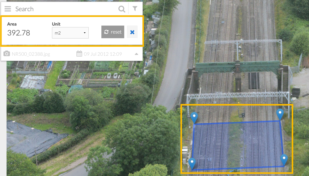
Again, the result will display in the card to the left of the screen in metres, miles of kilometres squared
Press Reset to begin again.