Once launched, you will see a satellite map of the UK.

As you move your mouse over the route, you will see a circular spotlight highlighting a number of orange dots. Each of these orange dots represents an image. Click on the darkest orange dot close to the location of interest and you will see the image appear in the card to the left of the screen.
The blue dot is the view point and the blue arrow dots is the camera point.
As you hover over the orange dots and move up and down the line, you will see the video scrubbing within the image card, which is very useful if you want to find a particular image.
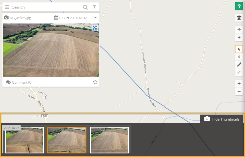
The image card also gives information such as the image name and date taken.
The blue arrows to the right of the image will open a full screen, high resolution version of the image allowing you to analyse, take measurements and get feature information.
To the bottom of the screen you can View Thumbnails,where any related images are shown. These could be before and after images, or images of the same location but at a different date. It is a useful resource for comparing two images.